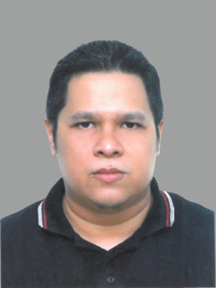
Muhamad Hasiff Ibrahim
MANAGING DIRECTOR
Muhamad Hasiff is an experienced Geomatic Engineer and Project Coordination Officer with over 15 years of field expertise in land surveying, engineering surveys, and geomatics-based project supervision. Skilled in topographical assessment, underground utility mapping, GPR investigations, feasibility studies, and construction-related survey operations, he has supported major government and private-sector infrastructure developments across Johor and Selangor.
His work spans road expansions, drainage system studies, port investigations, housing developments, and laser scanning applications. As a registered member of the Royal Institution of Surveyors Malaysia (MRISM), Hasiff is committed to delivering precise, reliable, and high-quality survey data to support informed engineering and development decisions.
Professional Associations and Appointments
- Professional member of the Royal Institution of Surveyors Malaysia (MRISM), No. M5735, valid until 2025.
- Over 15 years of experience as a Land Surveyor under Teraju Ukur, specializing in geomatic and engineering survey operations.
- Lead field surveyor for major government infrastructure projects, including directional ramps, port facilities, drainage systems, and road widening initiatives across Johor.
- Survey supervisor for feasibility studies such as IM-Interchange assessments and integrated transportation analyses.
- Experienced in topographical surveys, engineering surveys, drainage and flood-related assessments, and boundary mapping for residential and commercial developments.
- Performed GPR subsurface scanning and underground utility detection for ports and critical infrastructure.
- Conducted survey works for sedimentation, river basin management, and environmentally sensitive area inspections for government agencies.
- Provided professional laser scanning services for commercial and industrial clients, supporting 3D modelling and design verification.
- Collaborated with Jabatan Kerja Raya, Jabatan Pengairan dan Saliran, Johor Port Berhad, Ranhill Berskutu, Opus Consultants, and multiple private-sector developers.
- Supervised on-site survey crews to ensure accuracy, compliance, and timely delivery of project requirements.


